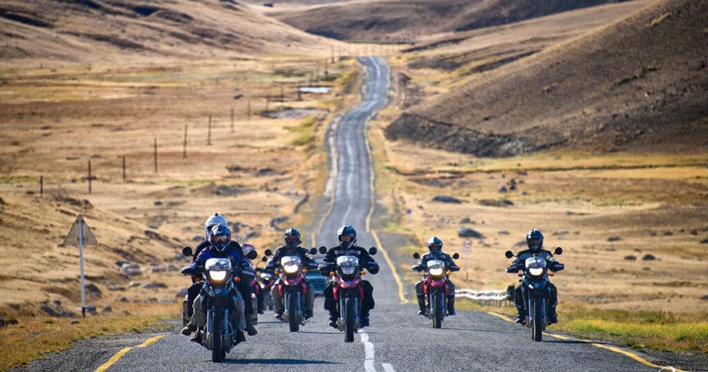
The motorbike route from Ölgii to Altai Tavan Bogd National Park runs roughly 180 km one-way along the southern corridor through Sagsai, Tsengel and the Dayan–Khurgan–Khoton lake basin to the park’s southern entry. Only the first 27 km out of Ölgii is paved; the remainder is hard-packed gravel, riverbed track and short sand sections, with 3 to 5 shallow river crossings depending on snowmelt. Expect 8 to 11 hours of riding time spread over two days, the last reliable fuel station inside Ölgii, and a mandatory border-zone permit that only a licensed Mongolian operator can obtain. The route opens once snow clears the high passes — practically mid-June to mid-September — with July and early August offering the most stable weather and lowest river levels.
Key Takeaways
- Distance: ~180 km Ölgii → southern park entry (Dayan / Khurgan / Khoton lake basin)
- Surface: 27 km paved out of Ölgii, then gravel, riverbed and short sand sections
- Riding time: 8–11 hours total, split across 2 days
- Refuelling: last reliable petrol in Ölgii; carry an extra 5–10 L
- Permits: park entry paid at the gate + free border-zone permit via licensed operator (30–60 days in advance)
- Ride season: mid-June → mid-September; July–early August is the sweet spot
Is There a Paved Road from Ölgii to Tavan Bogd?
No. Only the first 27 km out of Ölgii — the asphalt link to Sagsai sum centre — is paved. Beyond Sagsai, the route to Altai Tavan Bogd National Park is unpaved across its entire length: hard-packed gravel for the open steppe segments, looser washboard surfaces around the foothills, riverbed track through the Sagsai and Khovd valleys, and short sand drifts where the wind funnels through low passes.
This matters because Ölgii is the only town in Bayan-Ölgii Province with continuous paved infrastructure. The provincial capital sits at 1,710 m elevation with a population of roughly 50,000 as of 2024 and is the last point where you will see continuous tarmac, fuel pumps, ATMs and a working hospital. From the moment you ride past the Sagsai turn-off, you are on dirt all the way to the park.
The route is straightforward for any rider comfortable on adventure tyres and rear-loaded panniers, but it is not a road in the European or North American sense. Treat the GPS line as a suggestion: tyre tracks fan out across the steppe, locals cut shortcuts depending on rainfall, and the “main” track frequently splits into 3–4 parallel ruts.
Segment-by-Segment Route Log
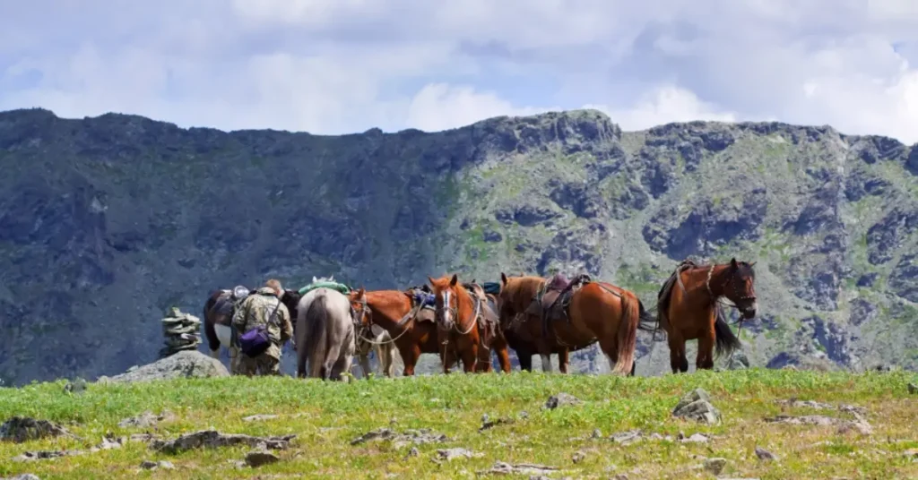
The southern corridor — used by virtually every motorbike trip headed for the Khoton, Khurgan and Dayan lakes basin and the Belukha-side foothills of Mongolia’s tallest peak, Khüiten — breaks into five practical segments:
| # | Segment | Approx. distance | Surface | Notes |
|---|---|---|---|---|
| 1 | Ölgii → Sagsai sum | 27 km | Paved | Only sealed section; refuel before leaving Ölgii |
| 2 | Sagsai → Tsengel sum centre | ~55 km | Hard gravel + light washboard | First open steppe; mostly fast and easy |
| 3 | Tsengel → Khovd-river valley | ~40 km | Gravel + riverbed track | First shallow river crossings appear |
| 4 | Khovd valley → Khurgan / Khoton lakes | ~35 km | Mixed gravel, sand, rocky climbs | Slowest stretch; expect 1–2 hours for this section alone |
| 5 | Khurgan / Khoton → Dayan basecamp area | ~25 km | Gravel + meadow tracks | Final approach; cold winds even in July |
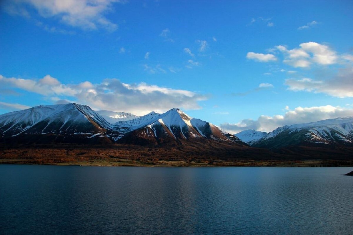
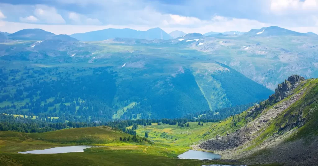
The Sagsai → Tsengel leg is where most riders relax — wide steppe, light traffic, ger camps visible from the road, and a steady downhill grade after the first pass. The Khovd-river valley is where the route earns its difficulty: the track follows the river plain, crosses gravel bars, and forces 2–4 wet crossings depending on year. The final lake-basin approach is technically easy but exposed; even in mid-July, evening temperatures at the lakes drop below 5 °C and a sudden afternoon wind can ground a heavily loaded bike.

The northern corridor via Tsagaannuur is a possible alternative but adds ~50 km and routes you closer to the Russian border, which complicates the permit picture without delivering a shorter ride to the lake basin. For first-time visitors the southern corridor described above is the standard line.
Where Can You Refuel Between Ölgii and the Park?
For all practical purposes, Ölgii is the last refuelling point. The town has multiple operational stations on its main approach roads selling 80 and 92 octane, with 92 being the better choice for adventure bikes. Beyond Ölgii, the sum centres along the southern corridor (Sagsai, Tsengel) sometimes have hand-pump fuel held in barrels by individuals, but this fuel is variable in quality and price, and never something to rely on for trip planning.
Rule of thumb for a return trip from Ölgii to the lake basin: carry 5–10 L of extra fuel in metal jerrycans, ride the southern corridor in the morning, refuel from your jerrycans at the lake basecamp before the return leg, and only count on the Ölgii stations for the next full tank. Most experienced operators carry one full spare jerrycan per bike and additional fuel in a support vehicle.
Two more practical notes:
- Range planning. A typical mid-displacement adventure bike (650–800 cc) with the stock tank covers Ölgii → lakes → Ölgii on roughly 28–35 L of fuel depending on load, headwinds and sand percentage. A small 400 cc dual-sport is comfortably under that and the better all-round choice for this route.
- Currency and payment. Cash only outside Ölgii. ATMs and card payments do not exist beyond the city.
For a deeper logistics primer see our motorcycle rental in Mongolia guide, which covers bike-specific tank ranges and rental conditions for the Western Mongolia loop.
Do You Need a Permit to Ride Into Altai Tavan Bogd?
Yes — two of them, and one of them has a long lead time.
Park entry permit. A national park entry fee is collected at the ranger station at the park gate. This is a same-day payment, handed over in cash, and is straightforward. It applies to every visitor, whether on a motorbike, in a 4×4 or on foot.
Border-zone permit. This is the one that catches independent riders by surprise. Altai Tavan Bogd lies inside the 100 km buffer zone that Mongolia maintains along its Russia and China borders. Entering this zone requires a separate border-zone permit issued by the Mongolian Border Service. The permit itself is free, but it is only obtainable through a licensed Mongolian operator, and the application typically needs to be filed 30 to 60 days before arrival with copies of every traveller’s passport.
There is no walk-up or border-station counter where independent riders can buy this permit on the same day. Without it, your trip ends at the first border-zone checkpoint, regardless of how well-prepared your bike is. Mongolian regulations also require visiting groups inside the park to be accompanied by at least one Mongolian citizen — a licensed guide, driver or operator representative — so even a solo rider in possession of all paperwork cannot legally enter the park alone.
The simplest path is to book through a licensed local operator that handles the border-zone application as a routine part of every motorbike trip. For the full permit process applied to trekkers and riders alike, see our Mongolia trekking permit guide.
River Crossings and Other Hazards
Three categories of hazard define this route:
Water crossings (3–5 typical). The Sagsai and Khovd river systems feed the lake basin and produce several braided gravel-bed crossings on the southern corridor. In a normal year these are calf-deep and rideable on adventure tyres; in heavy-snowmelt years (typically late June into early July) the same crossings can run hip-deep with strong current. Scout every crossing on foot first, ride upstream of the visible track to avoid the deepest scour line, and never cross alone.
Sand drifts and washboard. Two short sand sections — one between Tsengel and the Khovd valley, another near the Khurgan-Khoton outflow — are short enough that a confident standing rider crosses them without stopping. Washboard appears on the heavily used jeep tracks near sum centres; tyre pressure dropped to 18–20 psi front, 22–25 psi rear smooths the ride and improves traction across the whole route.
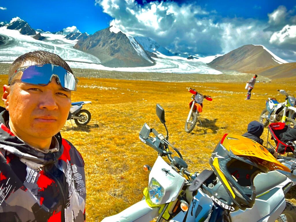
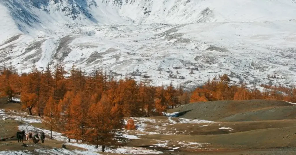
Weather and altitude. The lake basin sits at roughly 2,200 m and the surrounding passes at 2,500–2,800 m. Even in July, an afternoon thunderstorm can drop temperatures from +25 °C to +5 °C in twenty minutes and push hail across the steppe. Lightning over the open plain is real. A reliable rule: if cumulus clouds build by mid-morning, expect storms by 14:00–16:00.
For broader risk context including the protected-area rules that govern travel inside the park, the headline rule is the same one mountaineers use: ride to the conditions, not the calendar.
When Is the Best Time to Ride This Route?
The corridor opens once snow clears the high passes and rivers drop to safe crossing levels. In practice that means mid-June through mid-September, with the following sub-windows:
| Window | Conditions | Best for |
|---|---|---|
| Mid-June to early July | Snowmelt at peak; rivers high; passes just clear | Experienced riders only |
| Mid-July to early August | Driest week of the year typically; rivers at moderate level; long daylight | First-time visitors — the sweet spot |
| Mid-August to early September | Cool nights, stable weather; rivers low; warm light for photography | Photographers and return riders |
| Mid-September onwards | First snow possible; sum-centre services scaling down; daylight short | Avoid without support vehicle |
| October to mid-June | Snow on passes, fuel stations reducing winter stock, no commercial trips | Closed for practical riding |
The first three weeks of August are the historical sweet spot for this corridor: river crossings are at their lowest and most predictable, weather is the most stable of the season, and Ölgii itself is busy with festival traffic (the Sagsai Eagle Festival in mid-September draws crowds but motorbike routes are largely unaffected). Avoid late September unless you ride with a support vehicle — the first major snow of winter can land any day.
What Gear and Bike Setup Actually Works Here?
The bikes that work on this route share three things: a tank big enough for ~250 km of mixed terrain, suspension travel above 200 mm, and tyres rated 50/50 on/off-road or more aggressive. Specifically:
- 400–650 cc dual-sport (KTM 690 Enduro, Honda CRF300L Rally, Suzuki DR-Z 400, Husqvarna 701) — the sweet spot for the route
- 650–800 cc adventure (Yamaha Tenere 700, KTM 790 Adventure) — works fully loaded if you accept the slower river-crossing technique
- Above 1000 cc adventure tourer — possible but heavy; lay-downs in sand sections are a real cost
- Sub-300 cc enduro — fast and fun but tank range is the bottleneck; needs a support vehicle
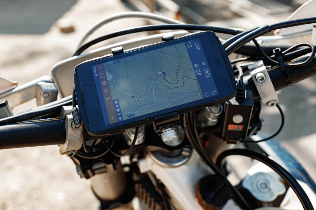
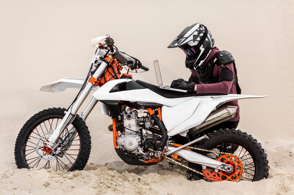
Essential additions to the rental setup: a 5 L metal jerrycan strapped low and tight, a tyre repair kit with tubes and a small foot pump, a compact tow strap, and a satellite communicator (Garmin inReach Mini or equivalent). Mobile reception is intermittent in Ölgii and effectively absent inside the park.

A fuller seasonal-timing breakdown is in our best time of year for motorcycle tours in Mongolia post, and the what to expect on an adventure motorcycle ride in Mongolia covers daily-life logistics like ger camps, food, and where to wash off three days of dust.
To put the whole route — Ölgii hand-off, border permit handled, fuel and support vehicle in place, bike checked at every overnight stop — under one operator booking, look at our Mongolia Altai motorcycle tour. For riders who want to combine the route with the lake-basin trekking and a Khüiten viewpoint day, the 6-day Altai Tavan Bogd tour covers the same corridor in a softer cultural format.
Suggested Tours:
Suggested Blogs:
Self-Guided vs Guided Motorcycle Tour in Mongolia: Which One Actually Fits Your Ride?
For roughly 85% of international riders, a fully-guided Mongolia motorcycle tour is the right format — the supported package costs…Mongolia Motorcycle Packing List 2026: What You Actually Need for the Altai
A 10-day Mongolia motorcycle tour packing list comes down to five layers of gear: serious riding kit (full helmet, armoured…Mongolia Motorcycle Tour Cost in 2026: What You’ll Actually Pay (and What’s Included)
A guided 10-day Mongolia motorcycle tour costs around $3,600 per person in 2026 when booked through a licensed local operator…

How long does the Ölgii to Altai Tavan Bogd motorbike ride take?
Plan on 8 to 11 hours of riding time spread across two days. A common split is Ölgii to a Khovd-valley ger camp on Day 1 (4–6 hours), then ger camp to the lake basin and into the park on Day 2 (4–5 hours). Compressing the ride into a single day is technically possible in long-daylight July weeks but leaves no margin for mechanical issues, weather, or scenic stops.
Can you ride a motorbike all the way from Ulaanbaatar to Tavan Bogd?
Yes, but most riders skip it. The Ulaanbaatar → Ölgii overland leg is roughly 1,600 km each way over mixed paved and dirt sections and takes 3–5 days of straight riding. The standard pattern is to fly the bike (or the rider) to Ölgii and ride only the Western Mongolia leg. Ölgii Airport has daily flights to Ulaanbaatar in summer.
Do I need a Mongolian guide for the motorbike route to Tavan Bogd?
Yes. Mongolian regulations require visiting groups inside Altai Tavan Bogd National Park to be accompanied by at least one Mongolian citizen — typically a licensed guide, driver or operator representative. Independent riders cannot legally enter the park alone, and the border-zone permit itself is only obtainable through a licensed operator filed 30–60 days in advance.
What is the road like between Ölgii and Tavan Bogd?
The first 27 km out of Ölgii to Sagsai is paved. Beyond that the route is unpaved: hard gravel on the open steppe, riverbed track through the Khovd valley, short sand drifts at the lake-basin approach, and 3–5 shallow river crossings depending on the year. There is no asphalt anywhere inside the national park.
Is there fuel between Ölgii and Altai Tavan Bogd?
Not reliably. Ölgii has multiple operational petrol stations and is the last guaranteed refuelling point. Some sum centres (Sagsai, Tsengel) occasionally sell barrel fuel from individuals, but quality and availability are unpredictable. Carry 5–10 L of extra fuel in a metal jerrycan and treat Ölgii as the only certain pump.
When is the worst time to ride this route?
October through mid-June. Snow blocks the high passes, sum-centre services scale down for winter, fuel stations run reduced stock, and rescue logistics become functionally unavailable. Late June can also be problematic in heavy-snowmelt years because river crossings run hip-deep. The reliable window is mid-July to early September.