
The Khentii Mountains are a mountain range about 400 kilometers long in northeastern Mongolia, in Töv and Khentii provinces; the capital, Ulaanbaatar, lies in them. Their best-known peak, Burkhan Khaldun, is believed to be the birthplace of Genghis Khan, and the Onon, Kherlen and Tuul rivers all start in the range. The easiest way in is Gorkhi-Terelj National Park near Ulaanbaatar, while the wild core is strictly protected.
Key Takeaways
- Geography: About 400 km long, running northeast to southwest across Töv and Khentii provinces; taiga in the north, dry steppe in the south.
- Continental divide: Divides waters flowing north to the Arctic Ocean (via Lake Baikal) from waters flowing east to the Pacific Ocean.
- Burkhan Khaldun: The highest mountain in the region at 2,362 meters; a UNESCO World Heritage Site and Mongolia’s most sacred peak.
- Genghis Khan’s homeland: Burkhan Khaldun is believed to be the birthplace of Genghis Khan and of his general Subutai; the Ikh Khorig (“Great Taboo”) is thought to hold his tomb.
- River headwaters: The source of the Onon, Kherlen, Menza, and Tuul rivers.
- Visitor access: Gorkhi-Terelj National Park offers paved-road access 66 km from Ulaanbaatar, while the Khan Khentii Strictly Protected Area requires controlled access.
Where Are the Khentii Mountains?
The Khentii Mountains (Mongolian: Хэнтийн нуруу) are a mountain range in Töv and Khentii provinces in northeastern Mongolia. They run about 400 kilometers from northeast to southwest in the northeastern part of central Mongolia, and the capital, Ulaanbaatar, lies in them. A northern extension of the same name continues into Russia as part of the Khentei-Daur Highlands in Transbaikalia. You can see where the range sits on our map of Mongolia.
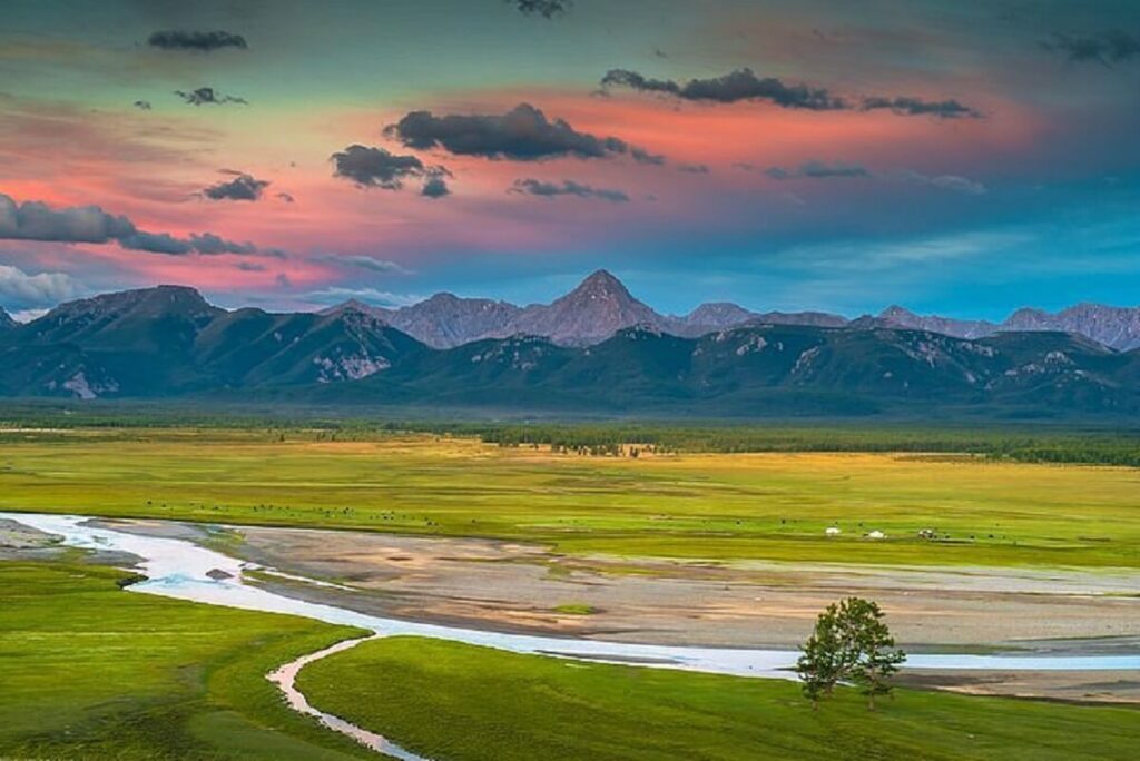
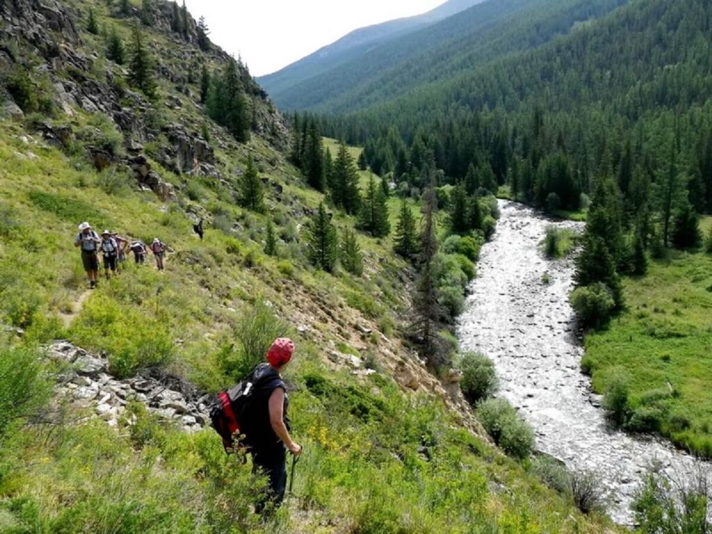
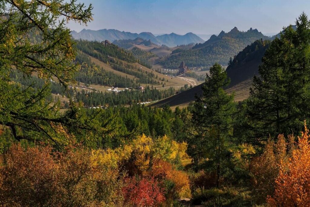
The two sides of the range look very different. The northern parts are covered in taiga forest, while the southern parts turn into dry steppe.
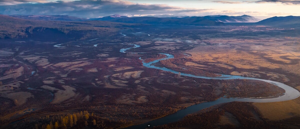
The Khentii Mountains are also a great watershed. Rivers on one side flow to the Arctic Ocean by way of Lake Baikal, and rivers on the other flow to the Pacific Ocean.
The range appears early in written history. In ancient China these mountains were called the Langjuxu Mountains, and in 119 BC the Han army, after fighting the Battle of Mobei against the Xiongnu, held victory rituals there.
Burkhan Khaldun: The Sacred Mountain
Burkhan Khaldun is one of the Khentii Mountains, in Khentii Province. At 2,362 meters (7,749 feet) it is the highest mountain of the region, and it is crescent-shaped. The name means “God Mountain” or “Buddha Mountain”, and it is also called Khentii Khan. For more on its history and traditions, see our Burkhan Khaldun guide.
Burkhan Khaldun is considered the most sacred mountain in Mongolia, a status it has held since Genghis Khan declared it sacred. A Presidential Decree in 1995 formalised the worship of the mountain and made it a national monument.

On July 4, 2015, UNESCO inscribed it on the World Heritage List as “Great Burkhan Khaldun Mountain and its surrounding sacred landscape.” The mountain is also the source of several rivers, which puts it at the heart of the Khentii range.
Genghis Khan and the Khentii
The Khentii Mountains are closely tied to the story of the Mongol Empire. Burkhan Khaldun, or the area around it, is believed to be the birthplace of Genghis Khan, and also of Subutai, one of his most successful generals. The Secret History of the Mongols begins with a camp “near the source of the Onon River in sight of Burkhan Khaldun.”
The upper Onon River is another place claimed as where Genghis Khan was born and grew up. Khentii Province, named after the mountains, is best known as his birthplace, and its capital is Chinggis City.
Genghis Khan is thought to have chosen a resting place in the Khentii Mountains, an area the Mongols call the Ikh Khorig, or “Great Taboo.” It may be where he is buried, but nobody knows for certain where his tomb is.
The Onon, Kherlen and Tuul Rivers
Four rivers start in the Khentii: the Onon, the Kherlen, the Tuul and the Menza. The area near Burkhan Khaldun where the Kherlen begins, about 180 kilometers northeast of Ulaanbaatar, divides the Arctic basin (the Tuul) from the Pacific basin (the Kherlen and Onon), and is called the “Three River Basins.”
| River | Length | Where it starts | Where it goes |
|---|---|---|---|
| Onon River | 1,032 km | Eastern slope of the Khentii Mountains | Flows 298 km through Mongolia, enters Russia, and joins the Amur basin toward the Pacific Ocean |
| Kherlen River | 1,254 km | South slopes near Burkhan Khaldun, about 180 km northeast of Ulaanbaatar | East through Khentii Province into China, ending in Hulun Lake |
| Tuul River | 882.8 km | Khan Khentii Strictly Protected Area | Flows through southern Ulaanbaatar into the Orkhon, Selenge, Lake Baikal, and the Arctic Ocean |
The Onon flows for 298 kilometers in Mongolia before it enters Russia; together with the Shilka and the Amur, it forms one of the world’s ten longest river systems. The Kherlen is one of Mongolia’s two longest rivers, along with the Orkhon, and it flows east before emptying into Hulun Lake in China.
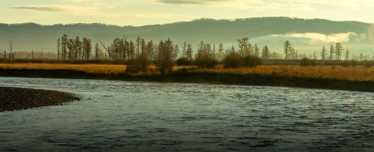
The Tuul is sacred to Mongols, who call it “Hatan Tuul” (“Queen Tuul”). It starts in the Khan Khentii Strictly Protected Area, flows southwest through the southern part of Ulaanbaatar and later joins the Orkhon, whose water reaches the Selenge and Lake Baikal. It is usually frozen from mid-November to mid-April.
Protected Areas: Khan Khentii and Gorkhi-Terelj
The heart of the range is the Khan Khentii Strictly Protected Area, established in 1992. It covers about 12,000 square kilometers and includes Burkhan Khaldun. In Mongolia’s strictly protected areas, herding and tourism are tightly controlled, and hunting and mining are prohibited.
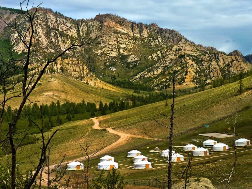
Closer to the capital is Gorkhi-Terelj National Park. A paved road connects it to Ulaanbaatar, and the settlement of Terelj is about 66 kilometers from the city center. The Tuul River flows through the park.

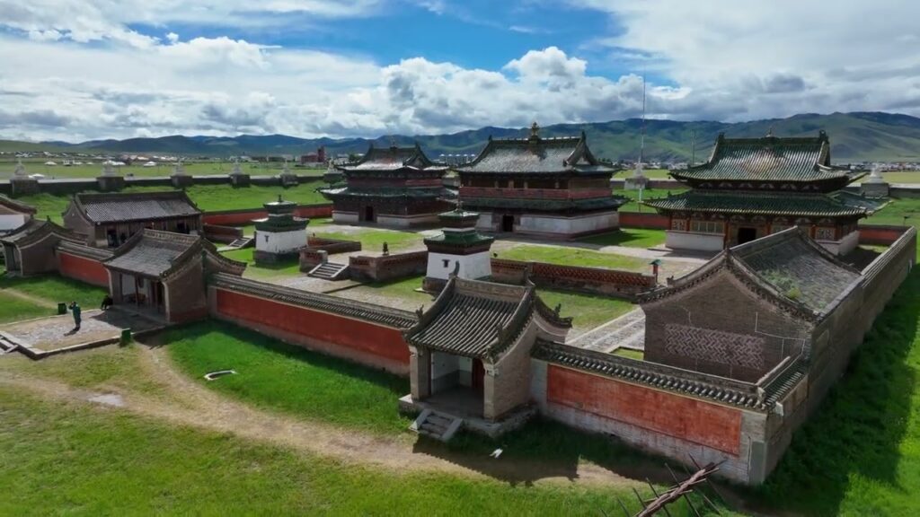
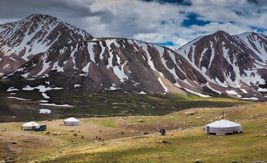
Only a small southern part of the park is developed for tourists, with ger camps, restaurants, a Buddhist monastery open to visitors, and horses and camels for rent. Most of the park is undeveloped and hard to reach. Khagiin Khar Lake, a glacial lake 20 meters deep, lies 80 kilometers upstream from the tourist camps, and the Yestii hot springs are 18 kilometers further. Wildlife includes brown bears and more than 250 species of birds.
In the northeast of Khentii Province there is one more protected area, Onon-Balj National Park.
How to Visit the Khentii Mountains
For most travelers, the easiest way into the Khentii Mountains is Gorkhi-Terelj National Park. It is reached from Ulaanbaatar by paved road, and its southern part has ger camps and horses and camels for rent, so it works well as a short trip from the capital.
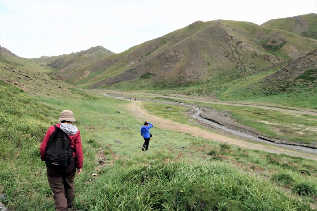
Going deeper, to Burkhan Khaldun, Khagiin Khar Lake or the upper river valleys, takes more planning. Most of Terelj is undeveloped and hard to reach, and in the Khan Khentii Strictly Protected Area tourism is tightly controlled. Read our guide to Mongolia trekking permits and plan the route with a local operator before you go.

Discover Altai is based in Bayan-Ölgii, in the far west of Mongolia, so none of our scheduled tours goes to the Khentii range. We plan trips anywhere in Mongolia, though, so we can build a tailor-made trip around your dates, budget and activities, by car, horse or camel. If you want a set itinerary that starts in the capital, our 13-day Gobi & Central Mongolia tour begins in Ulaanbaatar. And if mountains are what draw you to Mongolia, the highest are in our home region: Khüiten Peak in the Altai reaches 4,374 meters, and our Altai Tavan Bogd tour takes you there.
Suggested Blogs:
Mongolia Cycling: Routes, Seasons and Honest Tips for Riding the Steppe
Mongolia cycling guide: the best routes from Terelj to the Altai, when to ride, which bike to bring, water, wind,…Trekking to Darkhad Valley: A Hidden Jewel of Mongolia
Darkhad Valley, a remote and majestic region located in the northern part of Mongolia, is a vast expanse known for…Treks near Ulaanbaatar: Day trips from Ulaanbaatar
Day trips from Ulaanbaatar – The capital of Mongolia, is surrounded by vast steppes, rugged mountains, and beautiful rivers, making…


Where are the Khentii Mountains?
They are in northeastern Mongolia, in Töv and Khentii provinces, running about 400 kilometers from northeast to southwest. The capital, Ulaanbaatar, lies in the range.
What is the highest mountain in the Khentii range?
The highest mountain in the region is Burkhan Khaldun, which reaches an elevation of 2,362 meters (7,749 feet). It is located within Khentii Province inside the Khan Khentii Strictly Protected Area.
Is Genghis Khan buried in the Khentii Mountains?
Genghis Khan is thought to have chosen a resting place in the Khentii Mountains, the Ikh Khorig or “Great Taboo.” No one knows for certain where his tomb is.
Can you visit Burkhan Khaldun?
Burkhan Khaldun lies inside the Khan Khentii Strictly Protected Area, where tourism is tightly controlled. Plan the trip with a local operator, who can arrange the access.
How far are the Khentii Mountains from Ulaanbaatar?
Ulaanbaatar lies in the range. The settlement in Gorkhi-Terelj National Park is about 66 kilometers from the city center by paved road, and the source area of the Kherlen River is about 180 kilometers northeast of the city.
Which rivers start in the Khentii Mountains?
Four rivers start in the range: the Onon, the Kherlen, the Tuul and the Menza. Some of their water flows to the Arctic Ocean and some to the Pacific.