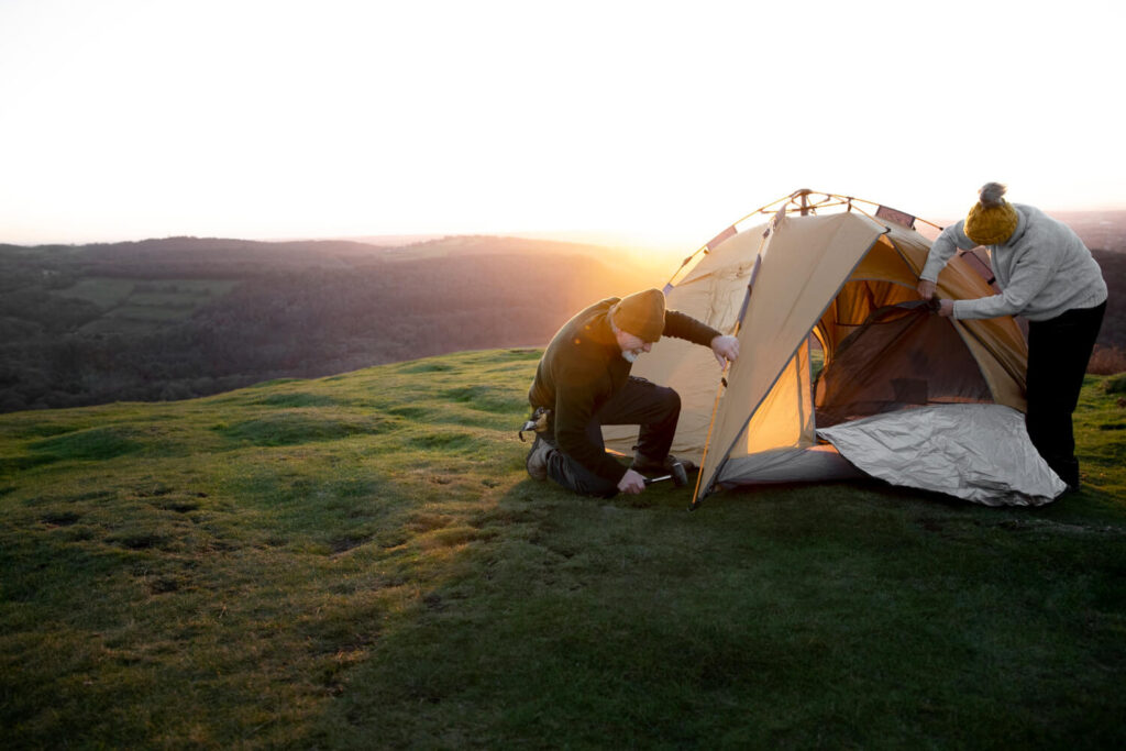
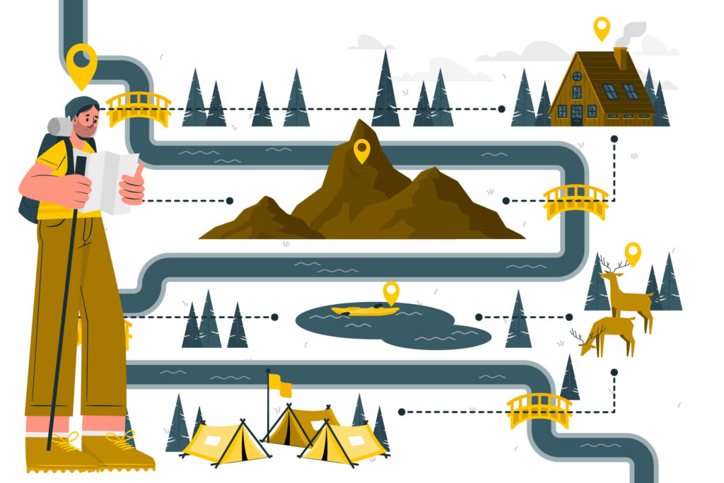
If you’re an outdoor enthusiast who enjoys exploring mountainous terrain, then learning how to navigate through the wilderness is an essential skill that you must master.
Whether you’re hiking, camping, or mountaineering, the ability to navigate safely and effectively will help you to stay on course and avoid getting lost.
In this article, we will provide a comprehensive guide on mountain navigation, including the tools and techniques that you can use to find your way, stay safe, and explore the mountains with confidence.
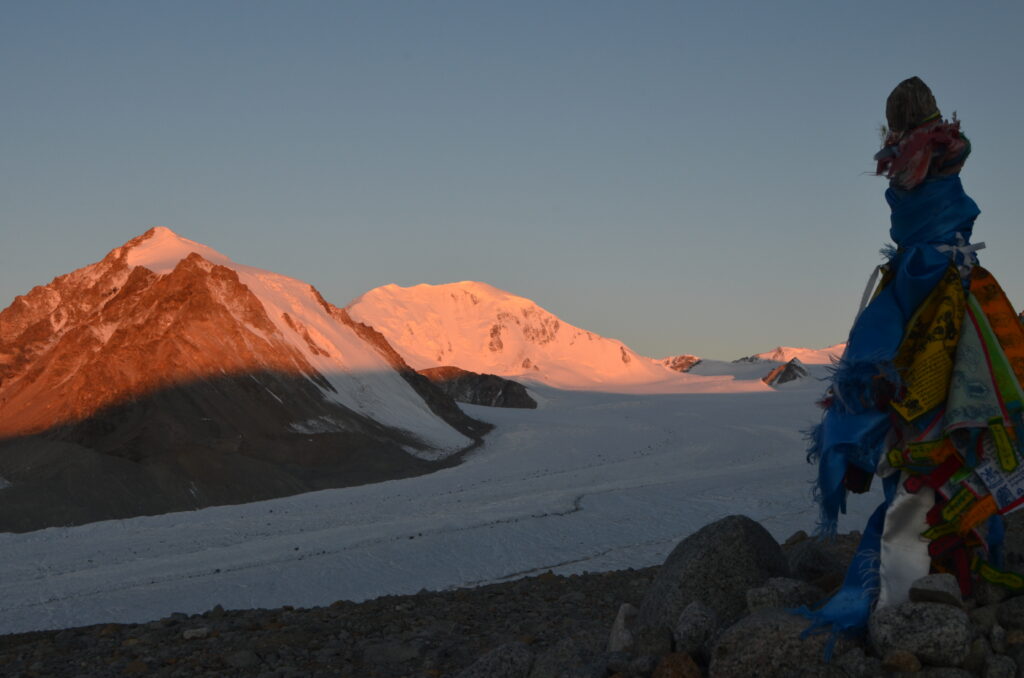
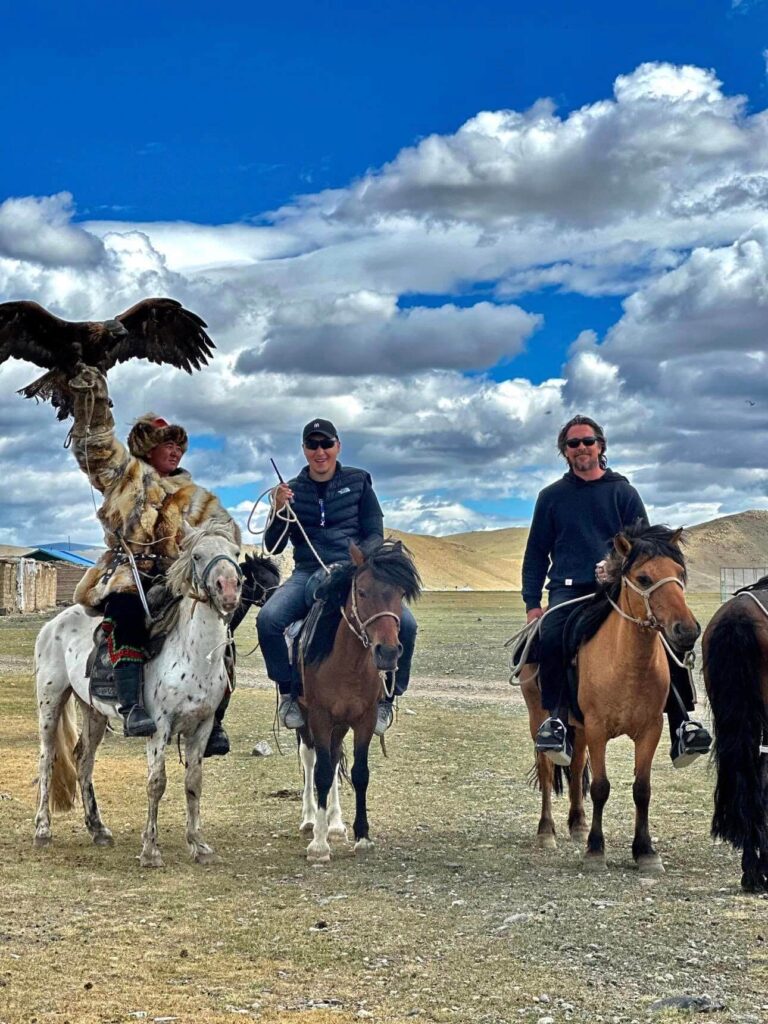
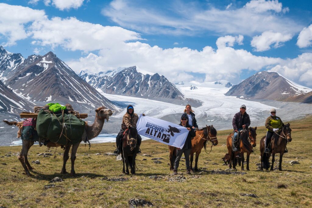
We offer you CLIMB MOUNT KHUITEN MONGOLIA. Mount Khuiten is the highest peak in Mongolia, which is located in the remote area of the Mongolian Altai region. It will be wonderful 🤩🤩
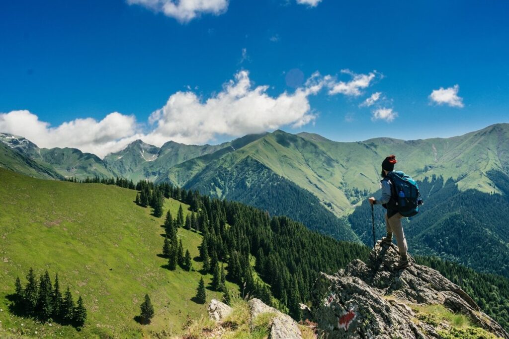
Understanding the Terrain
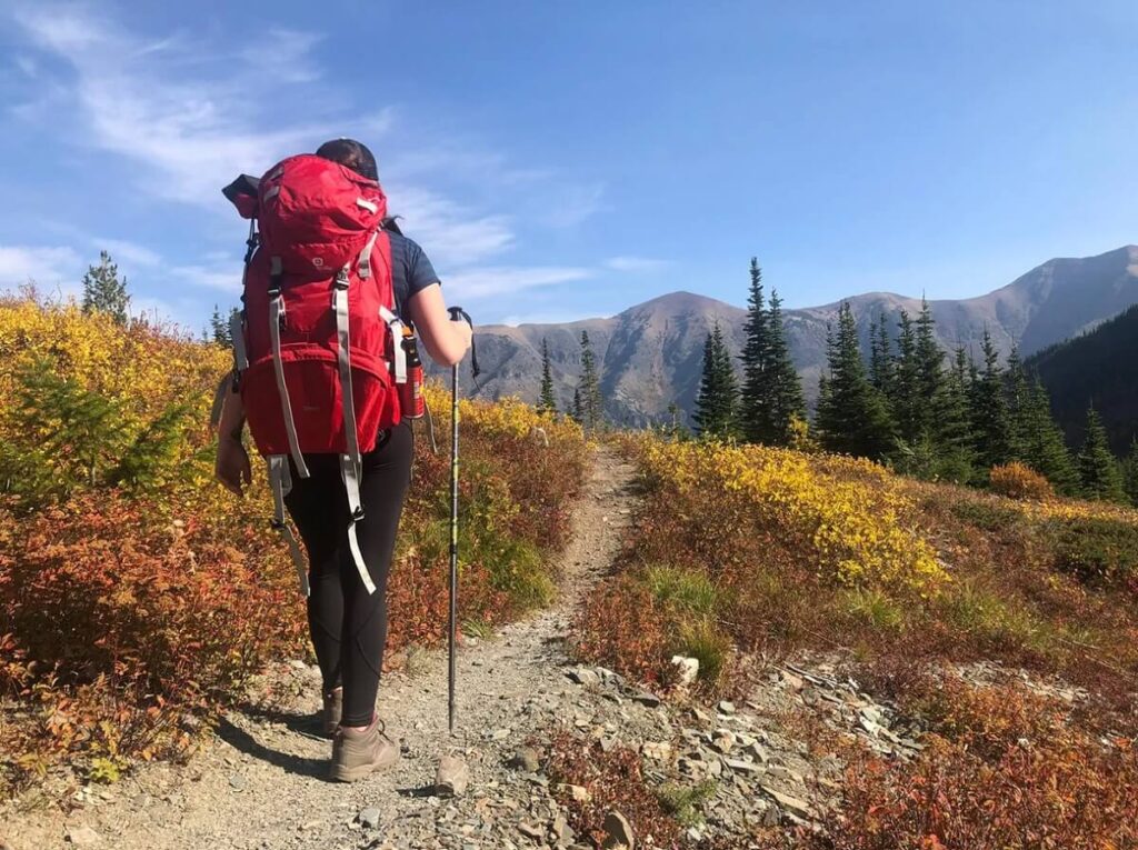
Understanding the terrain is essential for any mountain adventurer. It’s like knowing your way around your own kitchen – you wouldn’t want to be caught without the salt when making your favorite dish, and you wouldn’t want to find yourself in a steep valley when you thought you were on flat ground.
So, what exactly do we mean by “terrain”? Well, the terrain refers to the physical characteristics of the land. Is it flat, or does it have steep inclines and declines? Are there rocky outcrops or smooth, grassy meadows? What about water features, like rivers or lakes?
Knowing the terrain you’ll be navigating is crucial to prepare for your journey and avoid any unpleasant surprises.
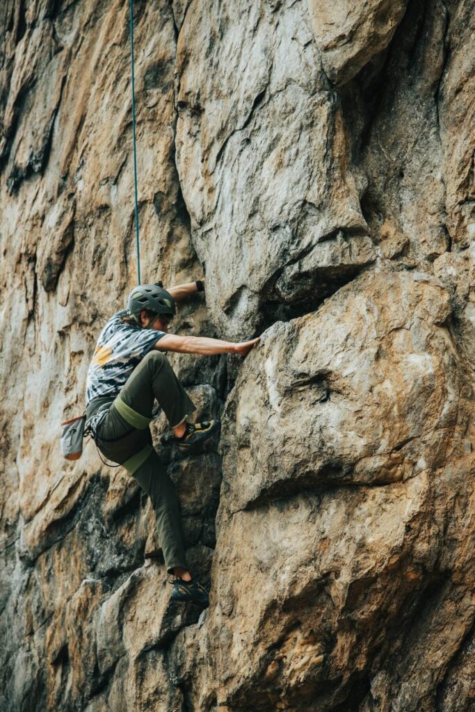
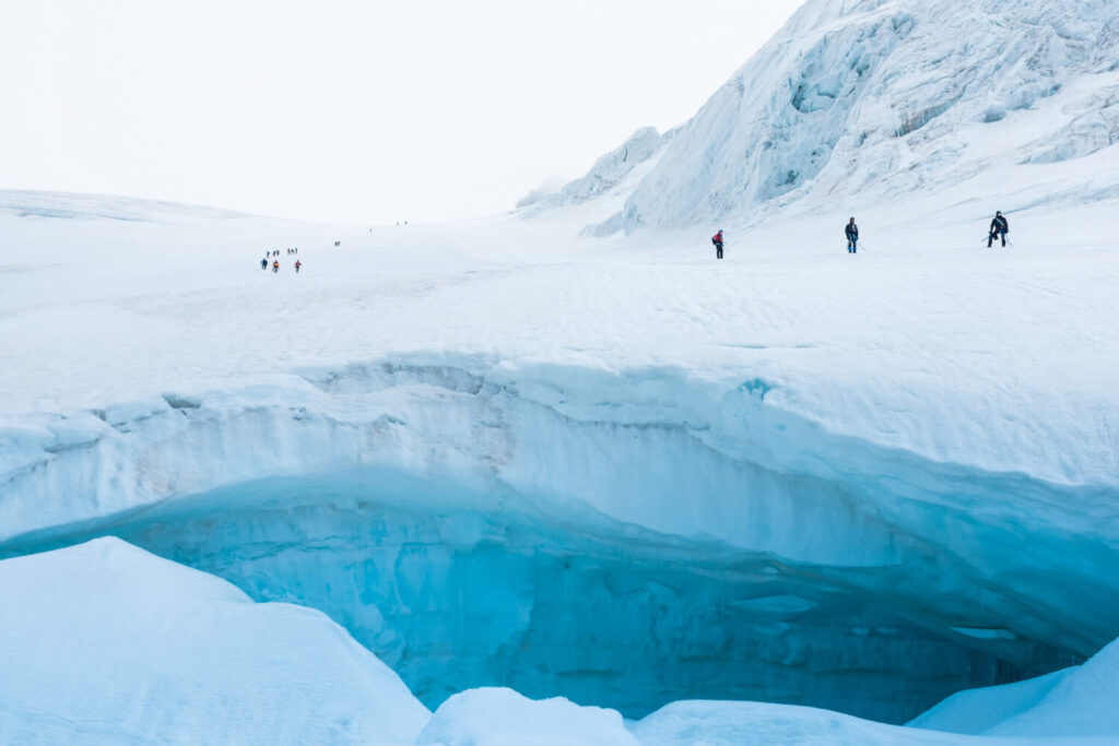
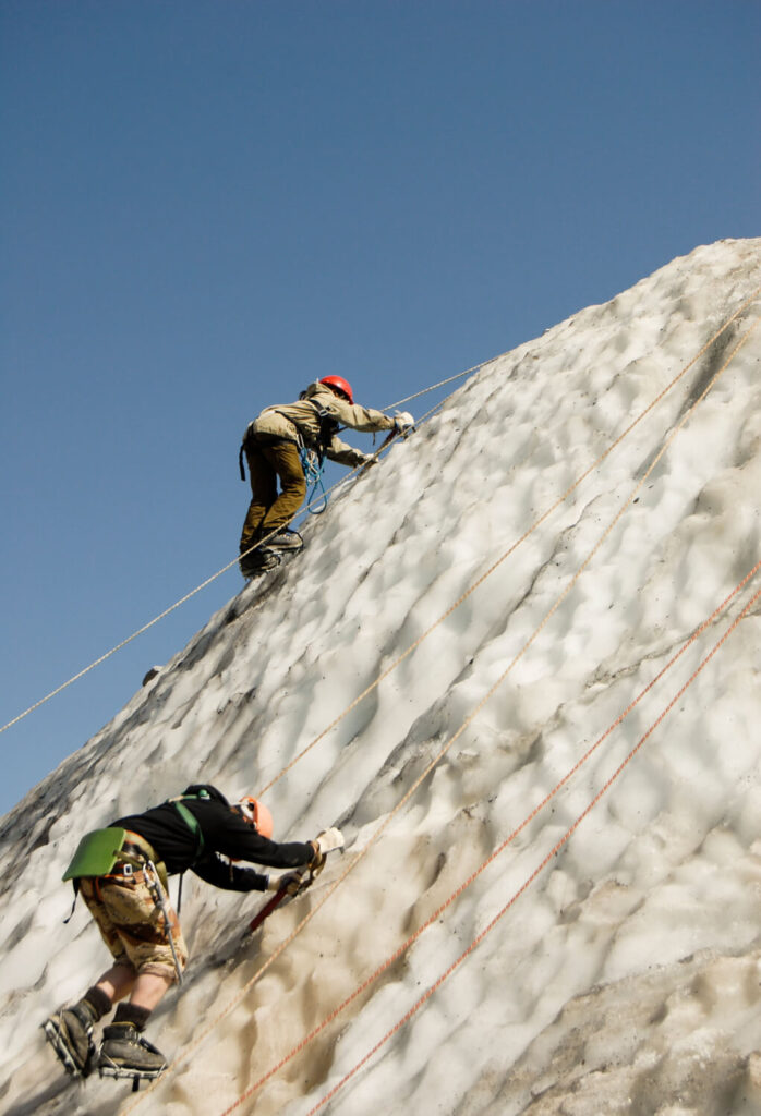
For example, if you’re planning to hike up a mountain like Mt Khuiten or Mt Malchin, you’ll need to bring appropriate gear and clothing, like sturdy hiking boots and warm layers for the colder temperatures you’ll experience at higher elevations.
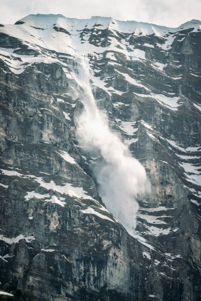
Another important aspect of understanding the terrain is knowing the altitude. Higher elevations can bring lower temperatures, thinner air, and harsher weather conditions, all of which can impact your health and safety.
Understanding the altitude of the terrain you’ll be navigating will help you to plan for these changes and avoid altitude sickness, dehydration, or other medical issues that can arise at high elevations.
Additionally, understanding the terrain means keeping an eye on the weather. Mountain weather can change in an instant, so it’s crucial to stay updated on the forecast and plan your trip accordingly. It’s also a good idea to bring appropriate gear, like rain jackets or sun hats, to protect you from the elements.
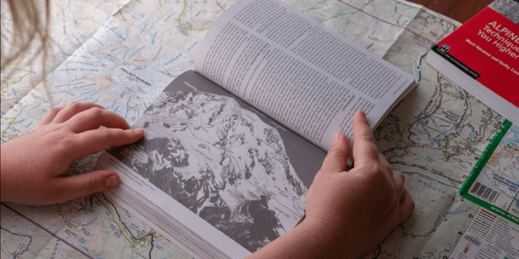
Nowadays, getting information about the terrain has never been easier. You don’t have to be a seasoned adventurer or a professional mountaineer to gather valuable knowledge about the land you’re about to explore.
From guidebooks to online forums, there are a plethora of resources available for you to tap into and plan your mountain adventure with confidence.
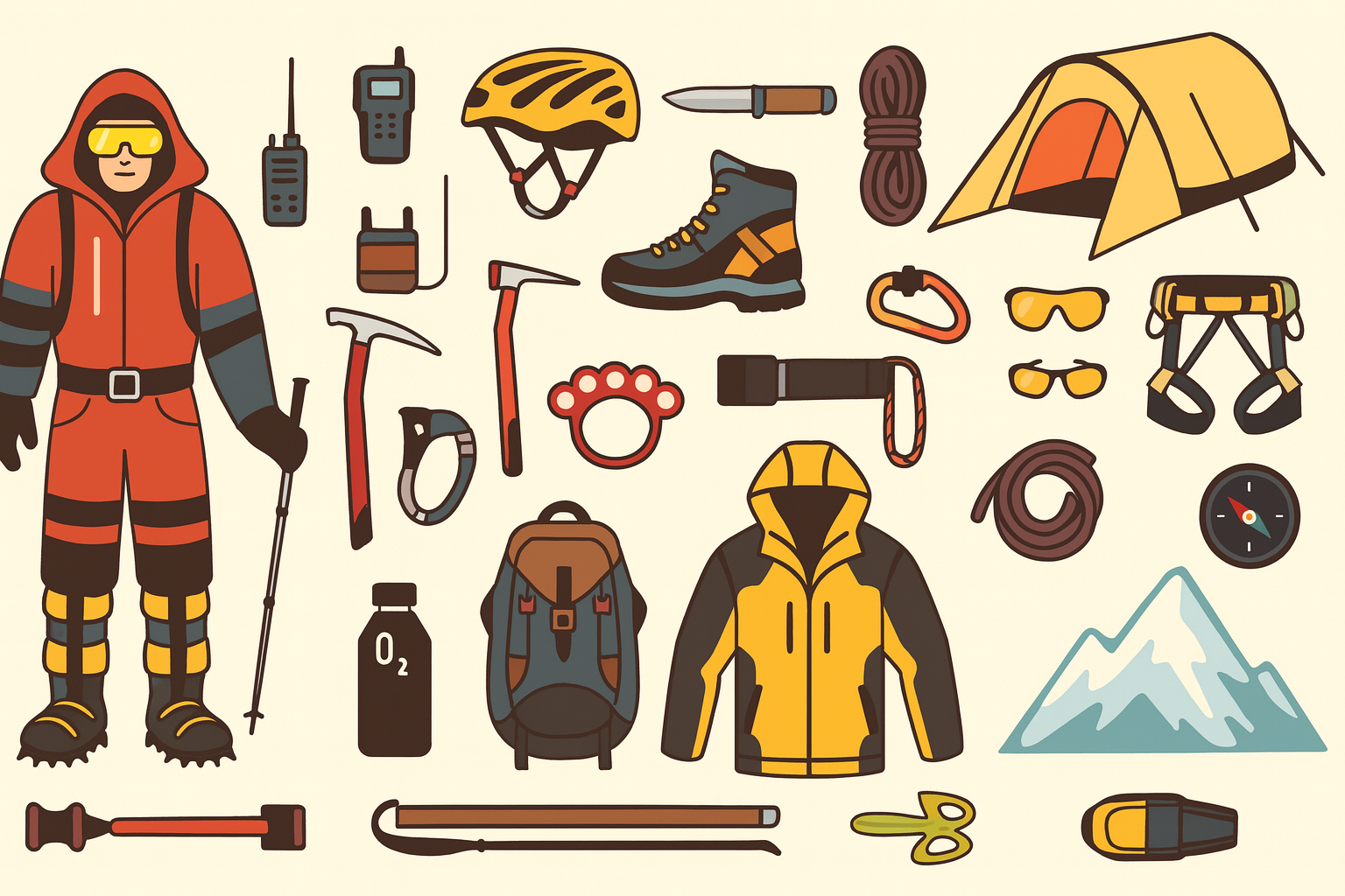
Essential Navigation Tools
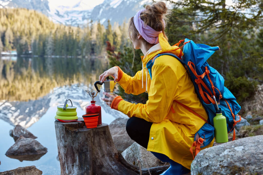
If you’re planning a mountain adventure, having the right tools can make all the difference when it comes to navigation. Here are a few essential items to consider packing for your journey:
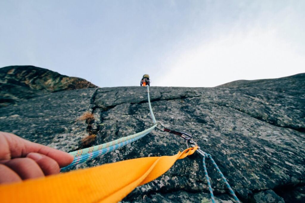
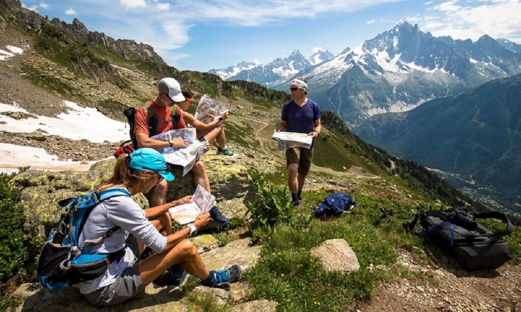
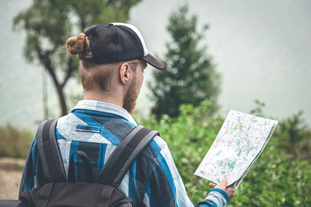
- Map: A good map is your best friend when it comes to mountain navigation. Topographic maps are especially useful, as they show the elevation and contour lines of the land, which can help you determine the terrain and plan your route accordingly.
- Compass: While GPS devices and smartphone apps can be helpful, it’s always a good idea to have a reliable compass as a backup. A compass can help you navigate in low visibility conditions, like fog or heavy rain, and can also help you determine your exact location on a map.
- Altimeter: An altimeter measures your altitude, which is essential for determining your location on a map and staying aware of changes in elevation. This is especially important for hikers and mountaineers, as changes in altitude can impact your health and safety.
- Watch: A simple watch with a timer and stopwatch can be a valuable tool for mountain navigation. By timing your travel between certain points on a map, you can estimate your location and make more informed navigation decisions.
- Headlamp: A headlamp is a must-have item for any mountain adventure. It can help you navigate in low light conditions, like dawn or dusk, and can also be a lifesaver if you’re caught out after dark.
Of course, these are just a few of the many tools that can aid in mountain navigation. Other useful items might include a GPS device, a whistle, or a first-aid kit. Whatever tools you choose to bring, make sure you know how to use them before you embark on your adventure.
Navigation Techniques to Use on Mountain
When you’re out exploring the mountain, it’s important to be able to navigate effectively by keeping track of your location, identifying any obstacles or terrain features, and planning your route up and down.
This is especially crucial when facing challenging conditions such as a whiteout. Here are some tips and techniques to help you stay on track and select the best route for your mountain adventure.
Follow the Trail and Always Be Aware of Your Surroundings
Following a trail is one of the easiest and most reliable ways to navigate in the mountains. Trails are usually marked with blazes or signs, making them easy to follow. However, it’s important to remember that trails can also be misleading or even dangerous if you’re not paying attention.
That’s why it’s crucial to always be aware of your surroundings and any changes in the trail or terrain. Keep an eye out for any landmarks or distinctive features that can help you keep track of where you are.
If you’ve got a GPS or smartphone with a mapping app, it’s handy to occasionally turn it on and check your location while on a mountain adventure.
It’s even better if everyone in your group does the same, so no one person is solely responsible for navigation. And if you’re the designated map-carrier, make sure it’s easily accessible and let others take a peek at it too.
By sharing the navigation responsibilities and keeping your map and devices handy, you’ll all be able to stay on course and enjoy your mountain excursion.
Dead Reckoning
Dead reckoning is a technique that involves using your pace count and compass to estimate your location on a map. To use this technique, you’ll need to know how many steps it takes you to walk 100 meters.
Then, as you walk, count your steps and use your compass to maintain a straight line. This will help you estimate your location on the map.
Handrailing
Handrailing is a popular navigation technique used in mountain hiking and climbing. It involves using a distinct linear feature, such as a ridgeline, stream or cliff, as a guide for direction.
By keeping the feature in sight and travelling parallel to it, hikers and climbers can ensure that they stay on course and avoid getting lost.
To use the handrailing technique, you’ll need to identify a reliable feature that runs in the direction you want to go. Look for prominent natural features like a rocky outcrop or a line of trees.
Once you’ve identified your feature, keep it in view and walk parallel to it. This will help you maintain your direction and avoid straying off course.
Handrailing can be a particularly useful technique in low-visibility situations, where it may be difficult to see your surroundings clearly. However, it’s important to note that the technique is only effective if the feature you’re using as a guide is reliable and easily visible. Always have a backup plan and be prepared to use other navigation techniques if necessary.
Backtracking
Backtracking is a useful technique for mountain navigation that involves retracing your steps along a familiar path. It can be helpful when you’ve taken a wrong turn or gotten off course and need to get back to a known location.
To use the backtracking technique, start by identifying a point along your path where you know you were on the right track. This could be a distinctive rock formation, a fork in the trail, or a view of a landmark. Then, retrace your steps from that point back to your current location, making sure to stay on the correct path this time.
While backtracking can be an effective technique for correcting navigation mistakes, it’s not always the best option. If you’re unsure of your location or don’t have a clear starting point, it may be more effective to use other techniques like handrailing or dead reckoning.
Always Plan Your Descent
Planning for your descent is an important aspect of mountain navigation that many people tend to overlook. It’s essential to remember that the climb up is only half the journey. The descent can be even more challenging, especially if you’re tired, injured, or facing adverse weather conditions.
By taking a moment to observe the terrain and jot down notes during your ascent, you’ll have a better idea of what to expect on the way back down. You’ll also be able to anticipate potential hazards and choose a safer and more efficient route.
Suggested Tours:
Mongolia Altai Mountain Tour 2026 — 8 Days: Peak Climb + Culture + Nomadic Stay | $1,700
Unleash your adventure spirit, explore Mongolia on your own terms MONGOLIA ALTAI MOUNTAIN TOUR ⭐⭐⭐⭐⭐ 5.0 · 63 reviews on…MONGOLIAN NOMAD MIGRATION TOUR
Unleash your adventure spirit, explore Mongolia on your own terms Mongolian Nomad Migration tour ⭐⭐⭐⭐⭐ 5.0 · 63 reviews on…Mongolia Trekking Tour 2027 — 11-Day Altai Tavan Bogd Trek from $2,300
Unleash your adventure spirit, explore Mongolia on your own terms ALTAI TREKKING TOUR IN MONGOLIA By Dauren, Bayan-Olgii local guide since…
Related Blogs:
Mountain Rescue in Mongolia: How It Works, Emergency Contacts, and Why You Need Insurance
Mountain rescue in Mongolia is limited and self-organised. There is no national equivalent of the Swiss Air-Glaciers, French PGHM, or…Khüiten Peak Climbing Season: Best Months, Weather Windows, and Why Most Climbs Happen in July–August
The Khüiten Peak climbing season runs from late June to mid-September, with July and August as the prime climbing months…Mountain Climbing Risks: Exploring the Challenges and Safety Measures
Mountain Climbing Risks: Exploring the Challenges and Safety Measures – Mountain climbing is an exhilarating and adventurous activity that has…